Precision aerial mapping and photogrammetry for land surveyors, developers, engineers, and municipalities. Accurate 2D ortho maps, 3D terrain models, and LiDAR-quality point clouds โ delivered fast.
Traditional land surveying is slow and expensive. Drone photogrammetry covers the same ground in a fraction of the time, delivering centimeter-level accuracy that meets the needs of professional engineers, surveyors, and land developers.
TDB Solutions uses industry-leading photogrammetry software to process aerial imagery into geo-referenced deliverables your team can import directly into AutoCAD, ArcGIS, QGIS, or your preferred platform.
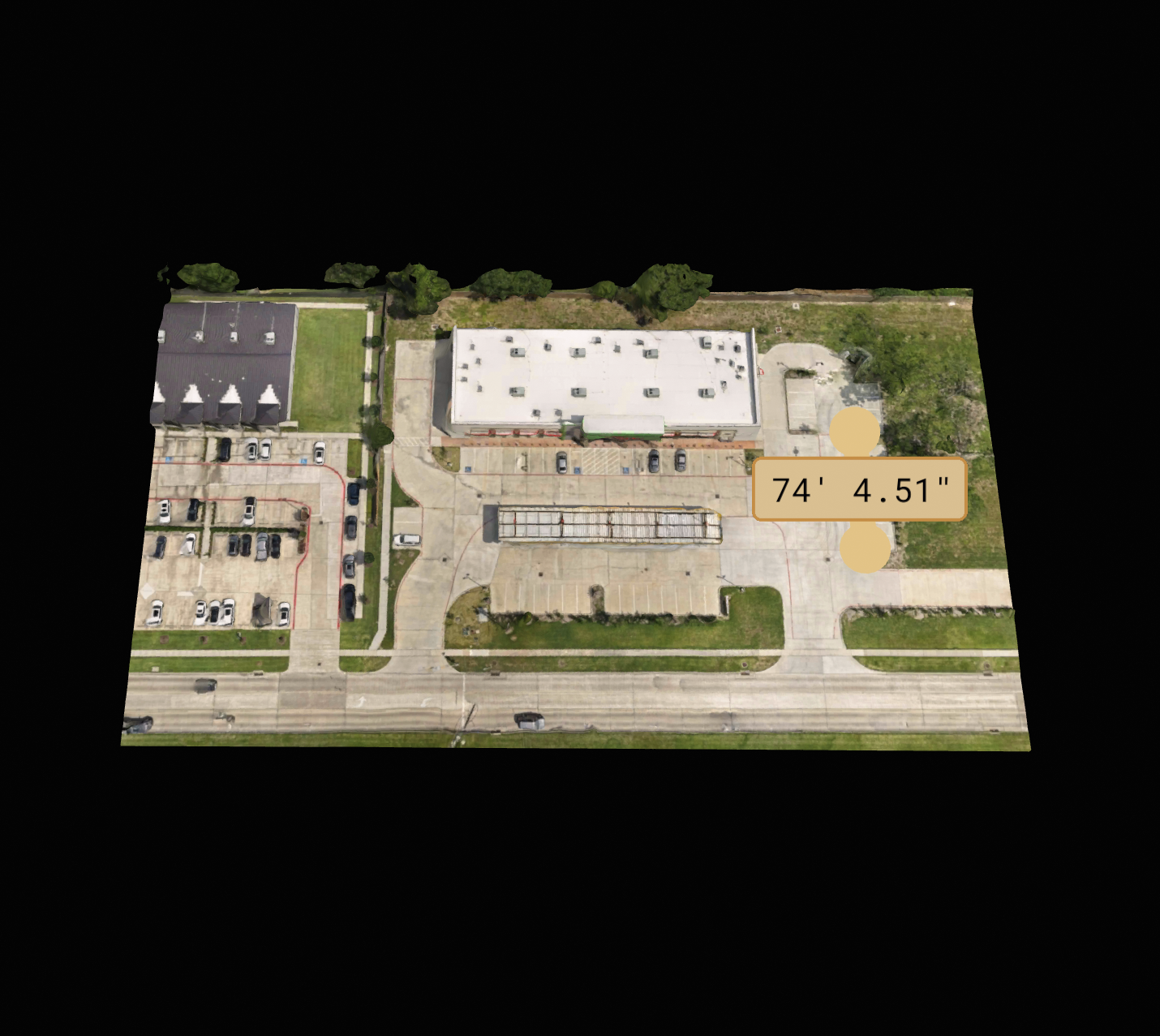
High-resolution, geo-referenced top-down imagery stitched from hundreds of aerial photos. Accurate enough for property boundary verification and as-built documentation.
DSMs and DTMs for flood analysis, grading plans, cut-and-fill calculations, and stormwater modeling. Essential for civil and geotechnical engineers.
Dense point cloud data in LAS/LAZ format for 3D modeling, volumetric analysis, and BIM integration. Capture complex terrain and structures with precision.
We place and survey GCPs using RTK GPS equipment to achieve sub-inch absolute accuracy โ meeting requirements for legal surveys and professional engineering reports.
Accurate volume calculations for aggregate stockpiles, earthwork, and material inventory. Replace manual measurements with drone data โ faster and far more accurate.
Capture existing site conditions with precision for comparison against design drawings. Ideal for construction progress verification and final project documentation.
All deliverables are provided in industry-standard formats and can be imported into the software you already use.
Geo-referenced orthomosaic images compatible with ArcGIS, QGIS, AutoCAD Civil 3D, and all major GIS platforms.
Standard point cloud format compatible with Autodesk ReCap, CloudCompare, and BIM software.
AutoCAD-ready contour lines and surface models derived from the digital terrain model โ plug directly into your civil design workflow.
Google Earth-compatible files for easy client review, site walkthroughs, and presentations without GIS software required.
Tell us your site size, accuracy requirements, and deadline โ we'll get you a quote same day.