Aerial Intelligence, Delivered
From cinematic marketing content to precision 3D models and critical infrastructure inspections — we turn aerial data into actionable results for your business.
Track every phase of your project from above. Regular aerial documentation, progress reports, volumetric measurements, and site oversight that keeps stakeholders informed, on budget, and on schedule from groundbreak to ribbon-cutting.
Learn More →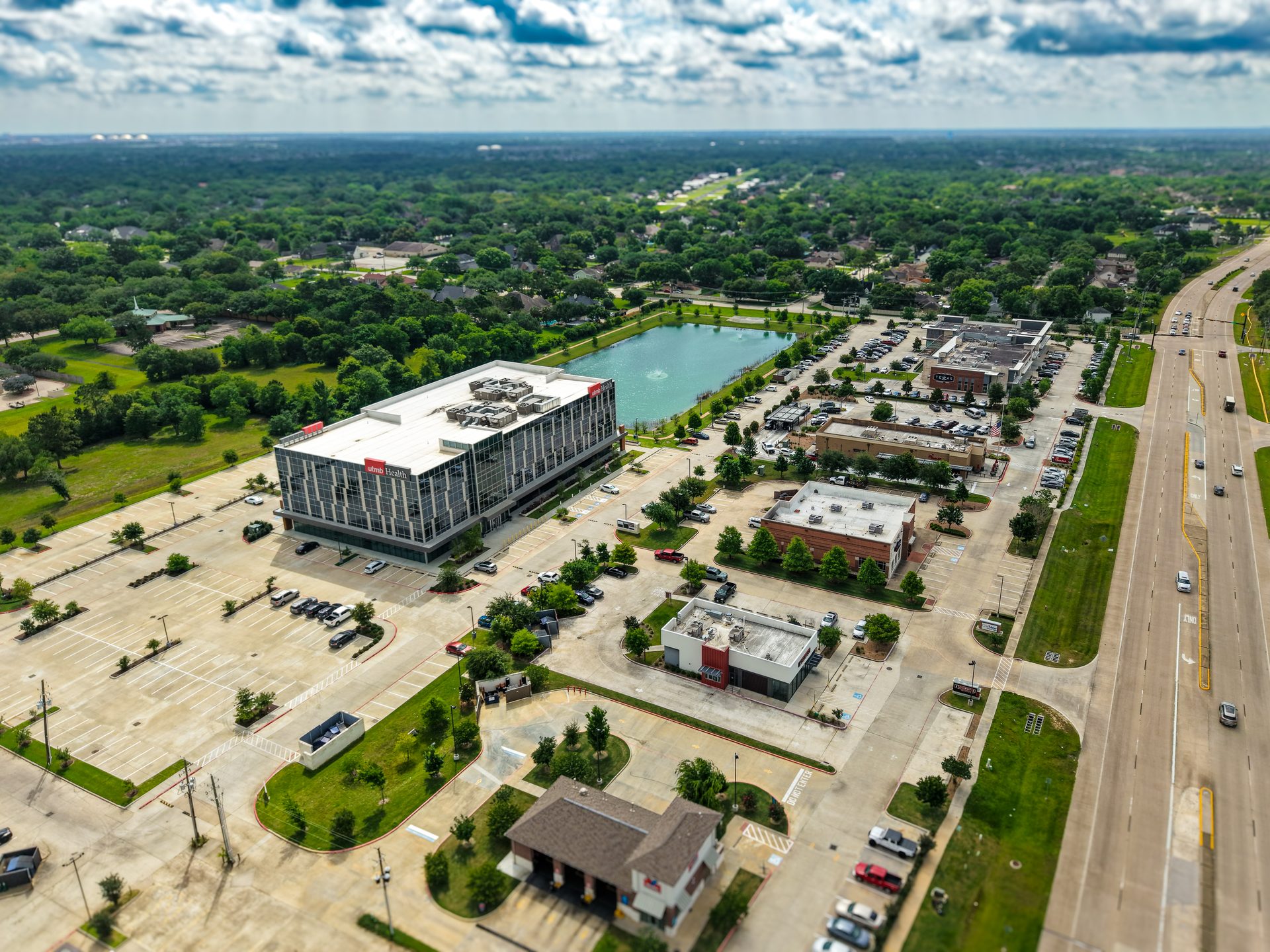
Breathtaking aerial photos and video that show the full story of any property — lot size, landscaping, waterfront access, neighborhood context. Give buyers the perspective that wins listings and closes deals faster. From starter homes to luxury estates.
Learn More →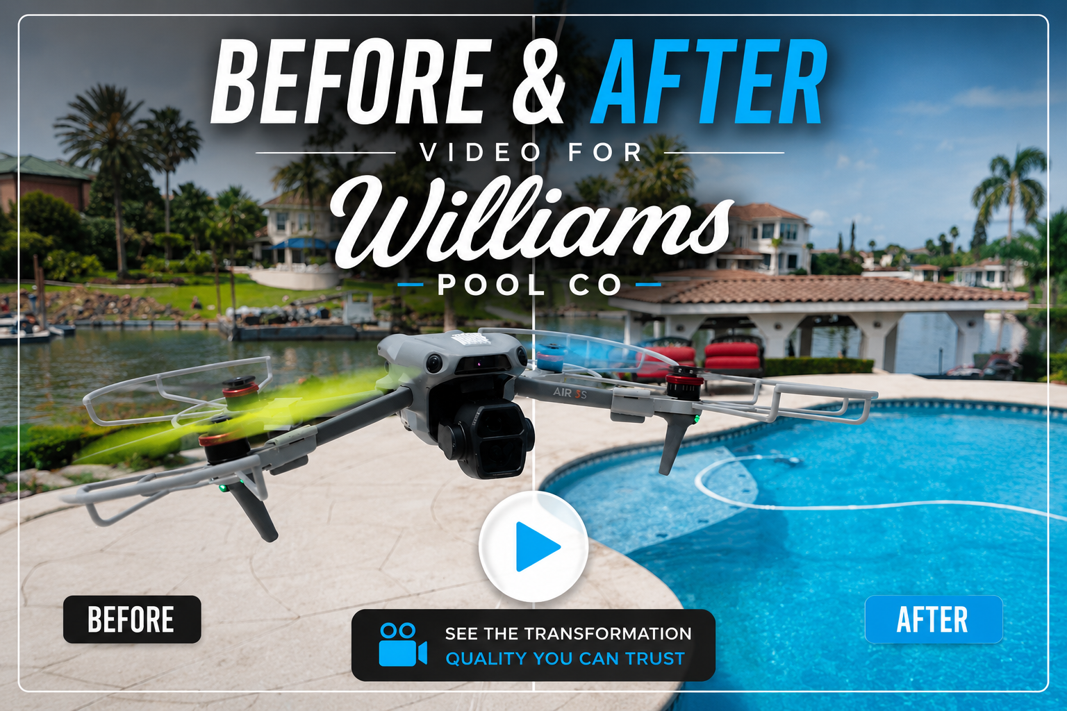
Cinematic 4K drone footage that makes your brand, property, or project impossible to ignore. We produce high-impact video content for businesses, real estate, events, and commercial campaigns — content that stops the scroll and closes the deal. With professional editing and fast turnaround, we transform raw aerial footage into marketing assets that set you apart from every competitor still relying on ground-level shots.
Learn More →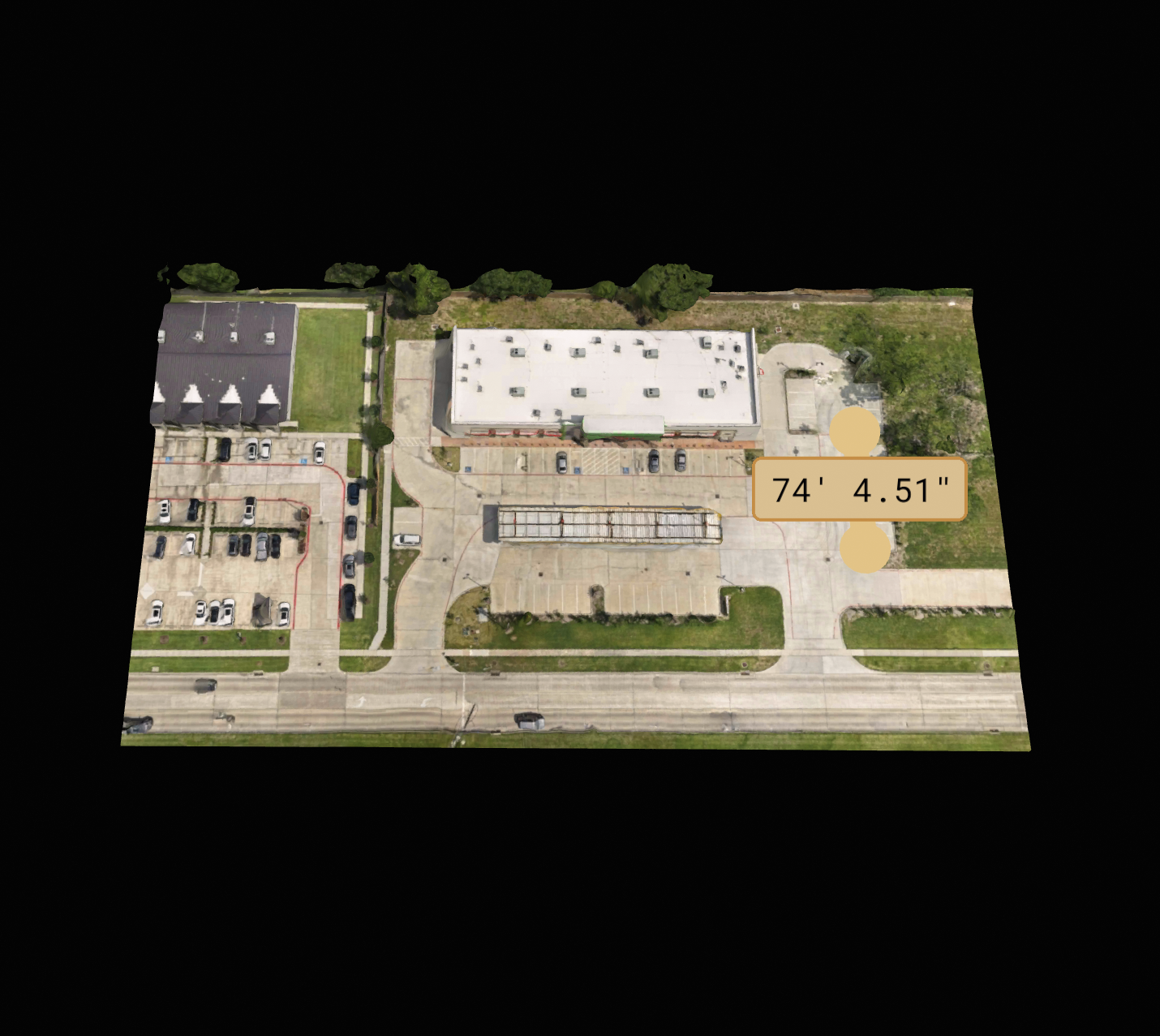
Precision photogrammetry to generate accurate 3D site models, point clouds, and topographic maps. Ideal for construction planning, volumetric analysis, site documentation, and digital twin creation — backed by real surveying expertise that most drone operators can't match.
Learn More →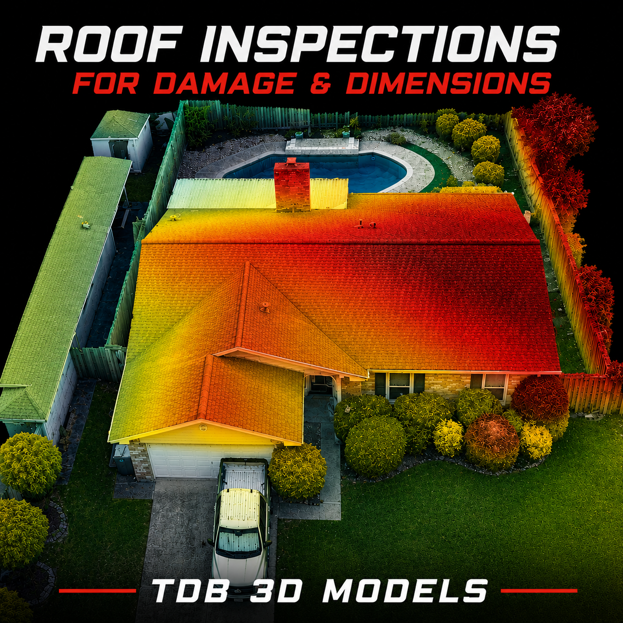
Safe, thorough, and cost-effective aerial inspections of towers, power lines, rooftops, pipelines, and critical infrastructure. High-resolution imagery and detailed reports — without scaffolding, without shutdowns, without putting crews in harm's way.
Learn More →
Bold, on-brand visuals that make your business impossible to ignore. From logos and brand identity to marketing materials and digital assets — we combine creative strategy with professional execution to deliver design that works as hard as you do.
Learn More →